


Ponca Voting District, Shawnee County, Kansas
About
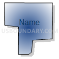
Outline

Summary
| Unique Area Identifier | 587179 |
| Name | Ponca Voting District |
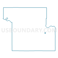
| County | Shawnee County |
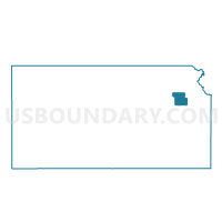
| State | Kansas |
| Area (square miles) | 0.15 |
| Land Area (square miles) | 0.15 |
| Water Area (square miles) | 0.00 |
| % of Land Area | 100.00 |
| % of Water Area | 0.00 |
| Latitude of the Internal Point | 39.01238310 |
| Longtitude of the Internal Point | -95.60461440 |
Maps

Graphs
Select a template below for downloading or customizing gragh for Ponca Voting District, Shawnee County, Kansas


Neighbors
Neighoring Voting District (by Name) Neighboring Voting District on the Map
- Cheyenne Voting District, Shawnee County, KS
- Kiowa Voting District, Shawnee County, KS
- Peck Voting District, Shawnee County, KS